GreatLakesCruises.com is a sales agent for every cruise line that operates on the Great Lakes.
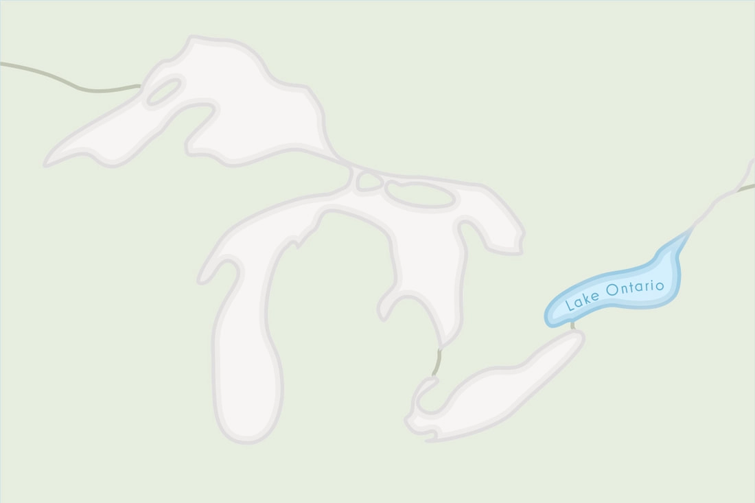
Lake Ontario is located right between Ontario, Canada and New York, USA. Its primary inflow is the Niagara River while its primary outflow is the St. Lawrence Seaway. The lake has a total surface area of 7,340 square mi and water volume of 393 cu mi; its water residence time is 6 years. Lake Ontario is the last Great Lakes of the chain before the St. Lawrence Seaway and its river mouth that flows into the Atlantic Ocean. Lake Ontario is the 13th largest lake in the world, and it was carved by the Wisconsin ice sheet back in the 2nd ice age. “Ontario” means “Great Lake” in Huron Language, and besides its evident historic roots, this region is a key to the Great Lakes area development.
To explore more of the Great Lakes, from their histories to their myths and mysteries, visit our hand-curated Great Lakes Cruise Library.
The Wisconsin ice sheet carved what used to be the Ontarian River and turned it into a valley, which later converted into Lake Iroquois. When the ice finally retreated from the St. Lawrence Valley, Lake Iroquois turned into a bay, and subsequently into Lake Ontario. The gradual land rebound causes inundation in the south shore of the lake and several river valleys have turned into bays. Property owners in the area are aware of the danger this phenomenon is continuously causing, and have even lost some value over their land.
In the pre-columbian era, the river served as a border between the Huron and Iroquois natives. Later in the 1600s, the Iroquois invaded the Huron and settled in the northern shores of the Lake. The Iroquois left, and later the Anishnabeg, Ojibwa, and Mississaugas moved in and retained the Iroquois name.
In 1615, the first European reached Lake Ontario. Lake Ontario changed names several times, as it was a usual practice by the European settlers; Lac de St. Louis and Lac Frontenac were a couple of relevant names during that time. Later on, the French and British established multiple trading forts. It wasn’t until 1794 that the U.S. took control of these ports after the signing of the Jay Treaty. The lake then became a hub for commercial activity due to its prime location; right between U.S. and Canada, and close to the Atlantic Ocean.
| Elevation | 243 ft | Avg Depth | 283 ft | Length of Shoreline | 712 mi |
| Surface Area | 7,340 mi² | Max Depth | 802 ft | Avg Surface Temp | 48º F |
| Drainage Area | 24,720 mi² | Length (N-S) | 53 mi | Retention Time | 6 years |
| Volume of Water | 393 mi³ | Length (E-W) | 193 mi | Avg Outflow | 243,000 ft³/s |
| Elevation | 74 m | Avg Depth | 86 m | Length of Shoreline | 1,146 km |
| Surface Area | 18,960 km² | Max Depth | 244 m | Avg Surface Temp | 9º C |
| Drainage Area | 64,030 km² | Length (N-S) | 85 km | Retention Time | 6 years |
| Volume of Water | 1,640 km³ | Length (E-W) | 311 km | Avg Outflow | 6,881 m³/s |
Read more on the “Physical Features of the Great Lakes” from the EPA .
Lake Ontario is a significant part of the 6-trillion-GDP Great Lakes Area Economy, a powerhouse on an international scale. The Ontario basin is home to ¼ of Canada’s population, and its primary economic activities include manufacturing, trading, fishing, and tourism. Its agricultural and industrial development has been significant, but it is causing a significant loss to the ecosystems in the region. However, Great Lakes cruises continue to gain popularity which propels tourism and more economic development in the region.